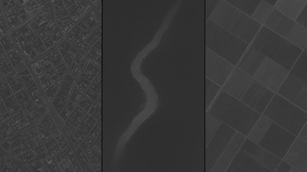
Understanding SAR Bands: X, C, and L Explained
However, SAR technology is far from uniform. The electromagnetic spectrum offers different frequency bands: primarily X, C, and L – each with distinct characteristics that determine their optimal applications. The choice of band fundamentally affects what you can observe, how deeply you can penetrate surfaces, and the level of detail you can achieve.

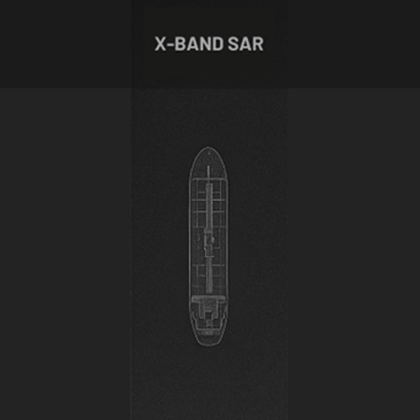
X-Band SAR: Precision at the Surface
The trade-off for this precision is penetration depth. X-band energy interacts strongly with surface features but has limited ability to penetrate through vegetation, soil, or other materials. This surface-focused characteristic makes X-band particularly valuable for applications requiring detailed detection of discrete objects and infrastructure.

- Maritime surveillance for vessel detection and tracking
- Monitoring critical infrastructure like airports and ports
- Urban mapping and change detection
- Security applications requiring precise object identification
The high resolution of X-band makes it indispensable when the goal is identifying specific targets or monitoring activities that require fine-scale detail. However, users should be aware that atmospheric conditions can more significantly affect X-band signals compared to longer wavelengths
C-Band SAR: The Versatile Workhorse
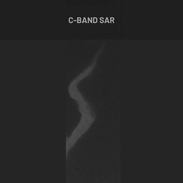
This balance has made C-band the most widely deployed SAR frequency for Earth observation missions. Major satellite programs, including the European Space Agency’s Sentinel-1 constellation, rely on C-band for operational monitoring across diverse applications.

- Environmental monitoring, including oil spill detection
- Agricultural monitoring and crop assessment
- Deforestation tracking and forest change detection
- Ice monitoring in polar regions
- General-purpose land and ocean observation
The versatility of C-band stems from its ability to provide consistent, reliable data across various environmental conditions while maintaining sufficient resolution for most monitoring applications. This makes it an excellent choice for operational programs requiring regular, systematic coverage.
L-Band SAR: Seeing Through the Surface
While L-band typically offers lower spatial resolution (3 meters and above), its unique penetration characteristics reveal information that shorter wavelengths cannot access. This capability is particularly valuable for applications requiring understanding of subsurface conditions or structure beneath vegetation cover.

- Forest biomass estimation and canopy structure analysis
- Soil moisture mapping through vegetation
- Archaeological site detection through ground penetration
- Land subsidence monitoring in vegetated areas
- Geological mapping and mineral exploration support
The deep penetration capability of L-band makes it irreplaceable for forestry applications, where understanding forest structure below the canopy is essential, and for geological applications where subsurface conditions drive decision-making
Interferometric SAR: Adding the Time Dimension
InSAR applications span:
- Urban subsidence monitoring for infrastructure safety
- Volcanic activity monitoring and hazard assessment
- Earthquake damage assessment and tectonic monitoring
- Mining-induced ground deformation tracking
- Construction and infrastructure stability analysis
This interferometric capability transforms SAR from a tool for capturing static images into a dynamic monitoring system capable of detecting subtle changes over time—changes that would be impossible to observe through other means.
Integrated SAR Solutions: All available on a single platform, Eartheye
Each SAR band offers distinct advantages: X-band provides unmatched resolution for precise object detection, C-band delivers versatile, reliable environmental monitoring capabilities, L-band reveals subsurface and through-canopy information, and InSAR techniques across all bands enable precise deformation monitoring.
Traditionally, accessing these complementary capabilities required working with multiple satellite operators, different data providers, and separate processing systems. This fragmented approach created significant barriers to users who needed multi-band analysis or wanted to compare insights across different SAR frequencies.
Modern Earth observation platforms are changing this paradigm. Eartheye Space addresses this challenge by integrating X-, C-, and L-band SAR data into a single, unified platform. Users can now access the full spectrum of SAR capabilities through one streamlined workflow, enabling more comprehensive analysis while reducing the complexity and time traditionally associated with multi-source SAR applications. This integrated approach allows researchers, governments, and industries to harness the complete power of SAR technology without the logistical burden of managing multiple systems and data sources.


