
What does Eartheye offer?
Smart Tasking, Smarter Information
Near real-time satellite tasking and automated information extraction

Tasking as a Service – Data
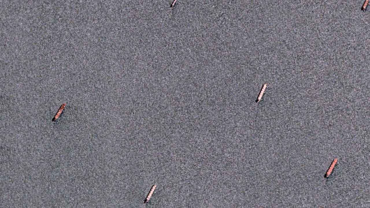
Direct access to satellite tasking, allowing users to schedule any sensor to capture data in near real-time. Whether for defence and intelligence operations, environmental monitoring, or infrastructure assessment, our platform ensures timely data acquisition with precise geospatial accuracy and global coverage through multiple revisit capabilities.
Starting at USD 1.50 per sqkm
Information As A Service – FEEDS
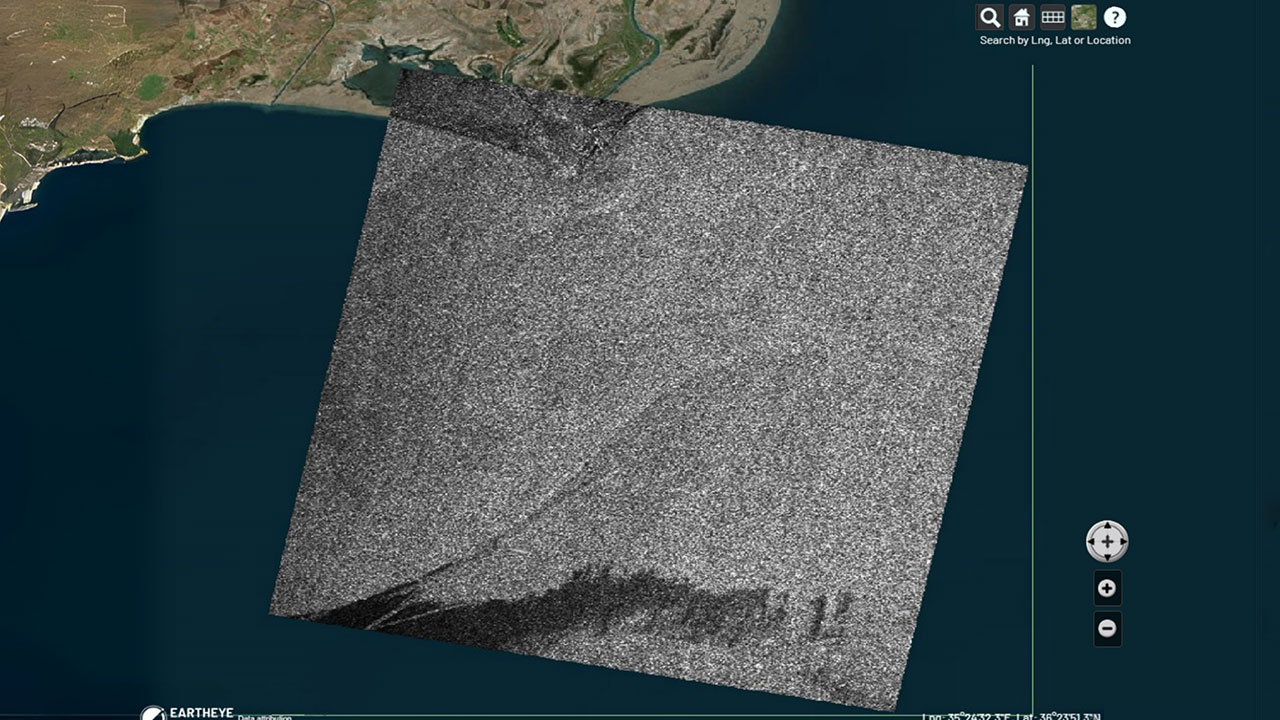
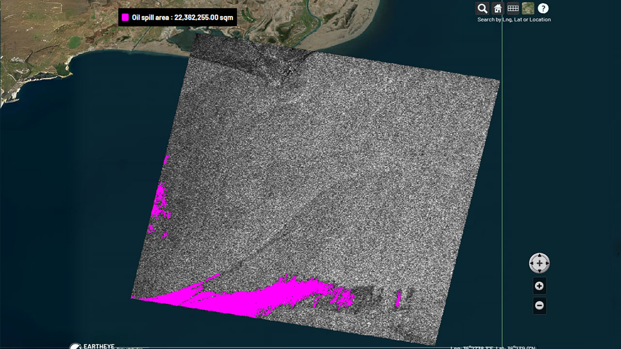
Transform raw satellite data into actionable information instantly with EARTHEYE Feeds. EARTHEYE delivers decision-ready information by extracting essential details from multi-sensor data, supported by automated detection, classification, and reporting across sectors such as defence and intelligence and areas like climate change.
Starting at USD 100 per feed
Eartheye Sensors
-
Multispectral (MSI)
-
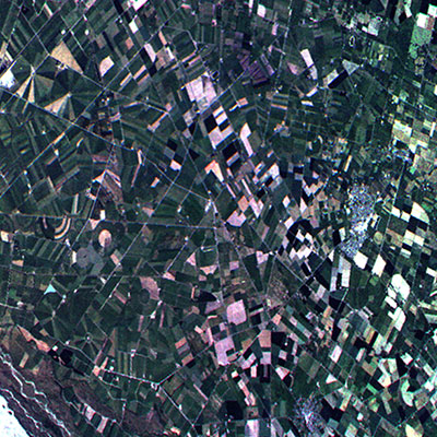
Hyperspectral (HSI)
-
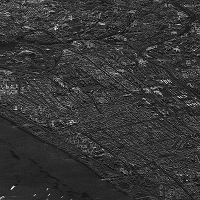
SYNTHETIC APERATURE RADAR (SAR), INCLUDING InSAR
-
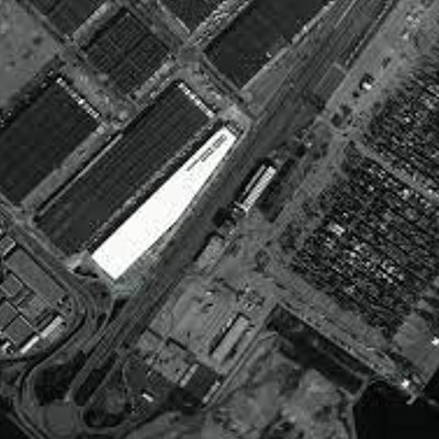
Full Motion Video (FMV)
-
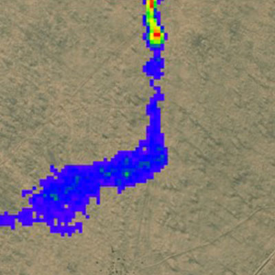
Greenhouse Gases (GHG)
-
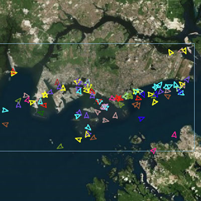
Automatic Identification System (AIS)
-
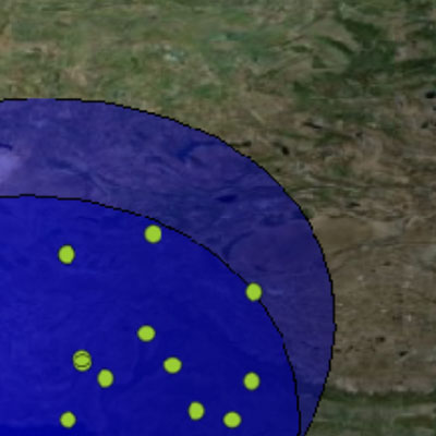
RF Communications (RF)
-
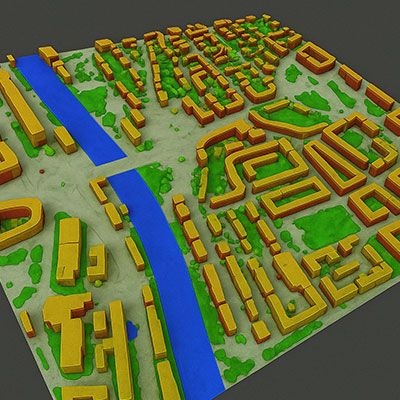
3D & LiDAR
-
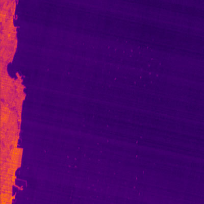
Thermal Infrared (TIR)
-
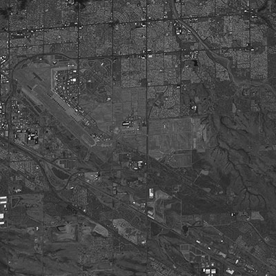
Panchromatic (PAN)
-
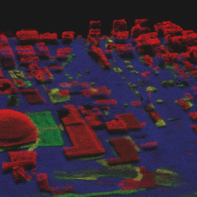
LiDAR
-
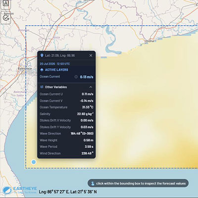
Weather
Eartheye Sensors
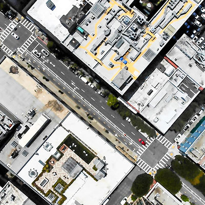
Multispectral (MSI)
Hyperspectral (HSI)
SYNTHETIC APERATURE RADAR (SAR), INCLUDING InSAR
Full Motion Video (FMV)
Greenhouse Gases (GHG)
Automatic Identification System (AIS)
RF Communications (RF)
3D & Lidar
Thermal Infrared (TIR)
Panchromatic (PAN)
LiDAR
Weather
EARTHEYE Feeds
Satellite data turned into ready-to-use information in near real time.
-
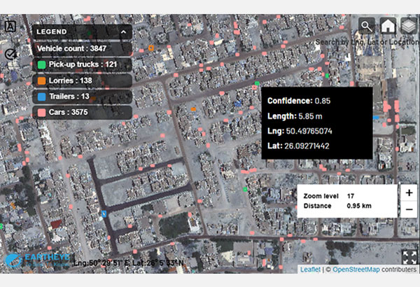
Vehicle Detection and Classification
Detect and classify vehicles of types pick-up trucks, lorries, trailers and cars.
-
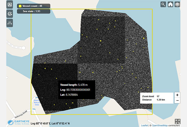
Small Boat Detection
Detect small wooden/rubber/fibreglass boats of length between five and 10 metres in rough weather.
-
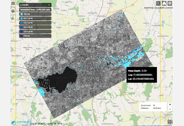
Flood Inundation (SAR)
Identify flooded areas in near real-time.
-
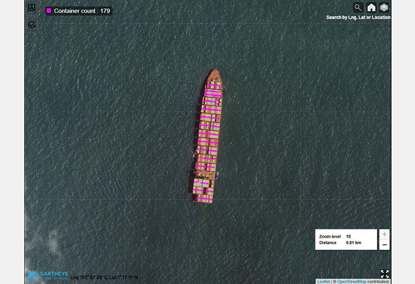
Container detection (VESSEL)
Detect and count containers on cargo vessels.
-
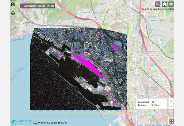
Container Detection (yard)
Detect and count containers in port yards.
-
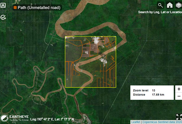
Path detection
Unmetalled/ unpaved road detection in plantations and forests.
-
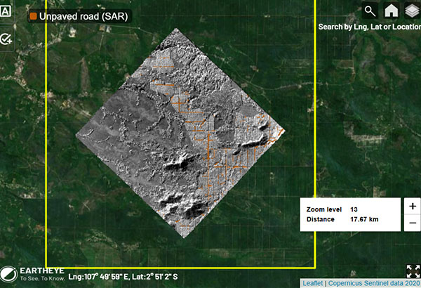
Path detection (SAR)
Unmetalled/ unpaved road detection in plantations and forests at any time and in all weather conditions.
-
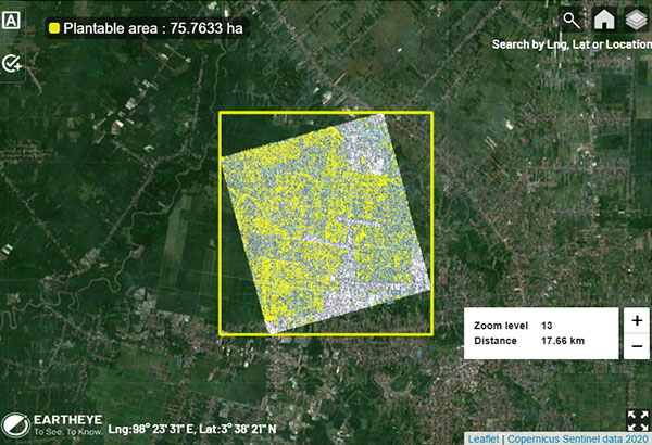
Blank spot
Detect blank spots and calculate the total plantable area in plantations.
-
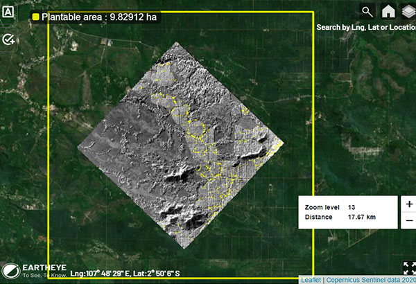
Blank spot (SAR)
Detect blank spots and calculate the total plantable area in plantations at any time and in all weather conditions.
-
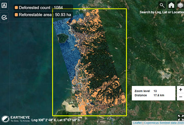
Deforestation
Detect deforestation and quantify affected land for reforestation.
-
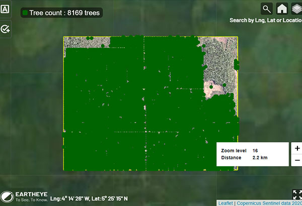
Tree count
Identify individual trees and estimate tree count.
-
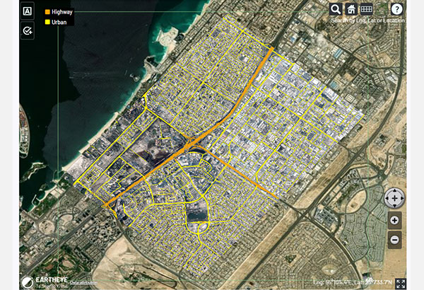
ROAD DETECTION AND CLASSIFICATION
Identify road networks and classify them as highways and urban roads.
-
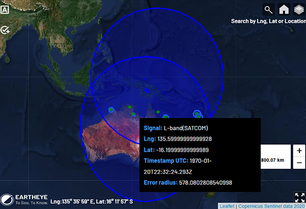
RF geolocation
Geolocate radio frequency (RF) signals from walkie-talkies, satellite phones, commercial radars, military communication etc. Intercept and extract audio from two-way radios.
-
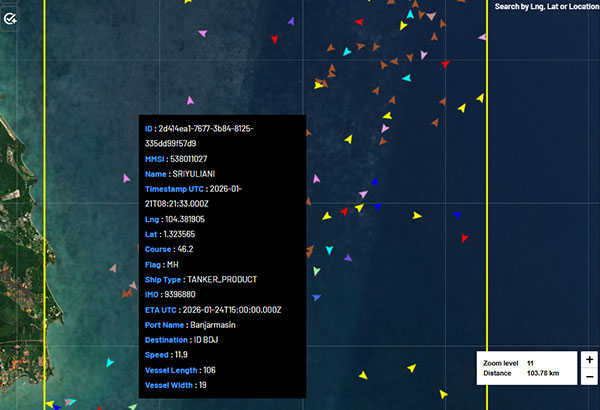
Vessel tracking & tracing
Track vessels of interest in real time with multiple attributes based on the Automatic Identification System (AIS) data.
-
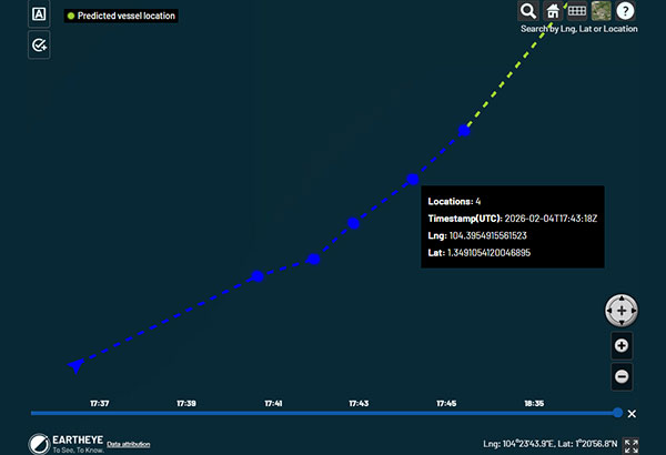
Vessel location prediction
Predict the next few locations of the dark vessel.
-
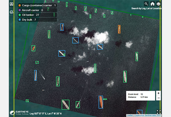
Vessel classification
Identify vessel types.
-
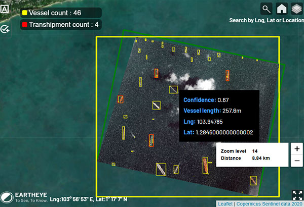
Vessel/Transhipment detection
Detect vessels in open waters and identify location, length and other pertinent information.
-
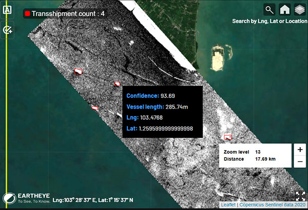
Vessel/Transhipment detection (SAR)
Identify at-sea ship to ship activities, regardless of time and weather.
-
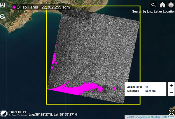
Oil spill
Detect and quantify oil spills in open waters and coastal environments.
-
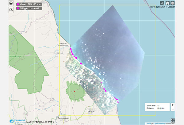
Oil Spill Type
Identify the oil spill type from the spill detected.
-
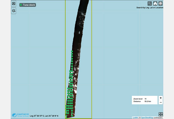
Tuna Stock Detection
Detect tuna concentrations in open water.
-
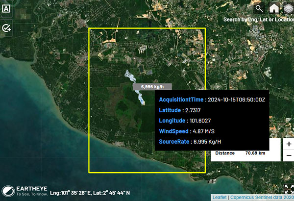
GHG (Greenhouse gas) emission
Detect and extract the source rate of GHG emission, highlighting the dispersion over time.
-
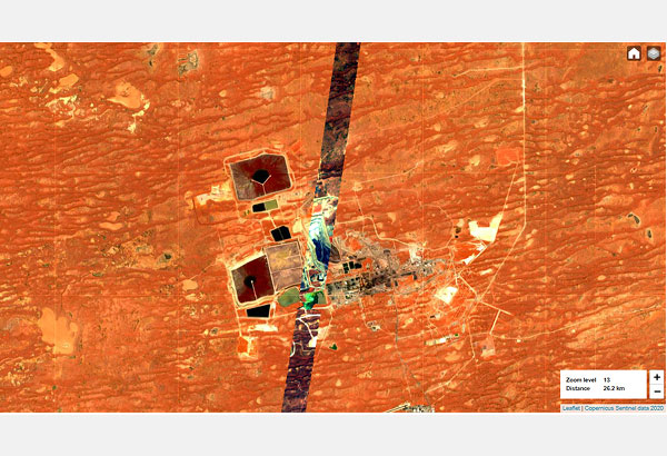
Minerals detection
Identify minerals, map their distribution, and monitor composition changes over time using advanced spectral analysis.
-
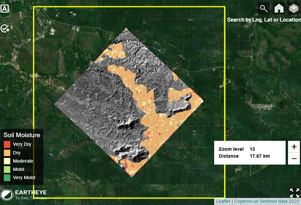
Soil moisture
Classify soil moisture content in a plantation from very dry to very moist.
-
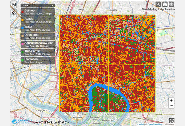
Land use / land cover classification (LULC)
Classification of six LULC classes with medium resolution data.
-
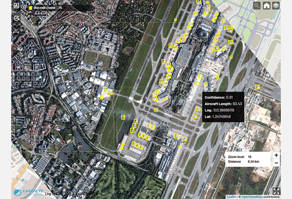
Aircraft Detection
Detects and counts aircraft from higher resolution optical satellite data.
EARTHEYE Indices
Advanced processing that reveals the invisible in satellite imagery in near real time.
-
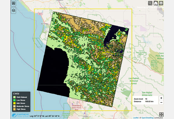
Crop Water Stress Index
Quantifies crop canopy water stress from thermal anomalies.
-
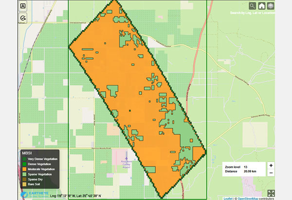
Modified Bare Soil Index
Enhances the detection of bare soil and its features by suppressing vegetation reflectance interference.
-
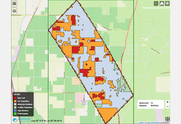
Normalised Difference Moisture Index
Targets vegetation water deficiency prior to visible wilting.
-
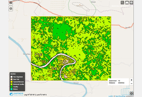
Normalised Difference Red Edge Index
Quantifies chlorophyll content for improved vegetation health assessment in dense canopies.
-
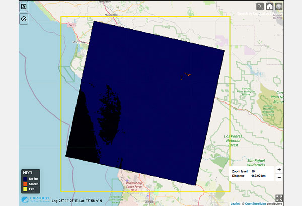
Normalised Difference Thermal Index
Detects active fire locations.
-
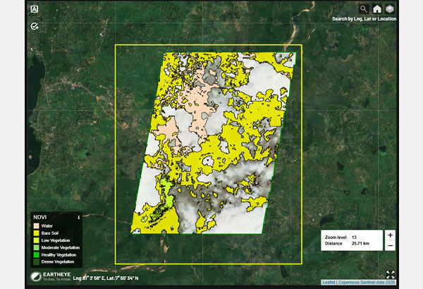
Normalised Difference Vegetation Index
Indicates vegetation presence, health and vigor.
-
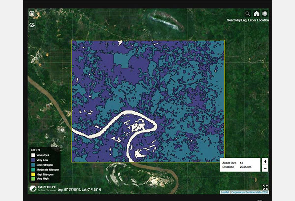
Normalized Canopy Chlorophyll Index
Estimates plant nitrogen status through chlorophyll content measurement.
-
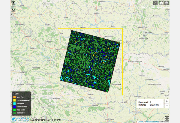
Temperature Vegetation Dryness Index
Quantifies soil moisture status.
-
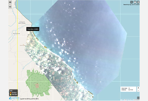
Oil Spill Index
Oil spill locations.
Why eartheye?

Multi-Sensor Capabilities
Diverse Sensor Integration
Utilise Multi Spectral (MS), Synthetic Aperture Radar (SAR), Hyperspectral (HS), Full Motion Video (FMV), Automatic Identification System (AIS), Thermal Infrared (TIR) and many more such sensors.
Custom Sensor Combinations
Choose standalone or combined sensors for specific data requirements, enabling flexibility.

DELIVERS TIMELY DATA
Data On-Demand
Access real-time satellite data for urgent and routine monitoring tasks.
High Revisit Rates
Frequent updates ensure relevant and up-to-date insights.

CLOUD-HOSTED
Scalable Infrastructure
Secure cloud hosting ensures data availability and quick access.
API Integration:
Easily integrate data into existing workflows for seamless usage.

SECURE AND ENCRYPTED
Data Protection
Industry-standard encryption ensures secure handling of sensitive information.
Compliance
Adheres to best practices for data privacy and security.

MULTI-MODAL INFORMATION
Access diverse Data Types
Optical, SAR, hyperspectral, FMV, and more — through a unified interface.
Visual dashboards and reports combine multiple data layers to support faster, more informed decisions.

DELIVERS TO TARGET SITES
including GISAutomated delivery ensures timely updates, reducing manual handling and speeding up decision-making.

TRANSPARENT PRICING
Clear Cost Structures
Upfront pricing avoids hidden fees, making budgeting straightforward.
Pay-As-You-Go
Flexible pricing based on usage ensures affordability for different needs.

DATA READY FOR ANALYSIS
Consumption-Ready Data
Processed and formatted data is immediately actionable.
Comprehensive Insights
Combines raw imagery with analytics for decision-making

INFORMATION FEEDS
Why eartheye?
Multi-Sensor Capabilities
Diverse Sensor Integration
Utilise Multi Spectral (MS), Synthetic Aperture Radar (SAR), Hyperspectral (HS), Full Motion Video (FMV), Automatic Identification System (AIS), Thermal Infrared (TIR) and many more such sensors.
Custom Sensor Combinations
Choose standalone or combined sensors for specific data requirements, enabling flexibility.
Delivers Timely Data
Data On-Demand
Access real-time satellite data for urgent and routine monitoring tasks.
High Revisit Rates
Frequent updates ensure relevant and up-to-date insights.
Cloud-Hosted
Scalable Infrastructure
Secure cloud hosting ensures data availability and quick access.
API Integration:
Easily integrate data into existing workflows for seamless usage.
Secure and Encrypted
Data Protection
Industry-standard encryption ensures secure handling of sensitive information.
Compliance
Adheres to best practices for data privacy and security.
MULTI-MODAL INFORMATION
Access diverse Data Types
Optical, SAR, hyperspectral, FMV, and more — through a unified interface.
Visual dashboards and reports combine multiple data layers to support faster, more informed decisions.
DELIVERS TO TARGET SITES
including GIS
Transparent Pricing
Clear Cost Structures
Upfront pricing avoids hidden fees, making budgeting straightforward.
Pay-As-You-Go
Flexible pricing based on usage ensures affordability for different needs.
Data Ready for Analysis
Consumption-Ready Data
Processed and formatted data is immediately actionable.
Comprehensive Insights
Combines raw imagery with analytics for decision-making
INFORMATION FEEDS
Simple, Transparent Pricing
Pay Only for What You Use
Starter
For first-time or occasional users
Annual Deposit
No minimum
Pay Now via PayPal, Stripe, or debit Account
-
SensorsClick to view breakdown5+
- 1 sub-m Multispectral Imaging (MSI)
- 1 above 1m MSI
- 1 sub-10m Hyperspectral Imaging (HSI)
- 2 sub-m Synthetic Aperture Radar (SAR) (X band)
- 1 High-resolution cum cadence weather
Includes
- Single user, one tasking workflow
- Support via platform ‘contact us’
Standard
For regular users
Annual Deposit From
USD 5,000
Pay now, debit account
-
SensorsClick to view breakdown10+
- 1 Panchromatic (PAN)
- 4 MSI (below 1m and above 1m)
- 3 SAR (X, C bands)
- 1 HSI
- 1 Thermal Infrared (TIR)
- 1 High-resolution cum cadence weather
More of everything from users to sensors
- Multi-user, multi-tasking workflows
- Access to simple feeds
- Support via onboarding, platform ‘contact us’ and email
Enterprise
For related entities & organisations
Annual Deposit From
USD 100,000
Pay now, debit account, or pay later by invoice
Volume discounts available
Full Premium sensor suite, tailored to operational requirements.
Everything in Premium plus
- Hierarchical and multi-account management
- Activity tracking
- Slack + dedicated support channel
- Support via onboarding, platform ‘contact us’, email, Slack and monthly check-in
* Contact Sales for automatic discounts on deposits over USD 100,000 for Enterprise plan.