
Application
Unlock the power of satellite-driven intelligence across the full mining lifecycle with EARTHEYE. From early-stage mineral exploration to post-mining land rehabilitation, our platform delivers on-demand tasking for data and feeds that provide decision-ready insights for operators, regulators, and investors; in near real-time, regardless of weather or lighting conditions.
- Mineral prospecting & site assessment
- Mine activity & asset monitoring
- Environmental risk & compliance
- Closure & land rehabilitation
EarthEye’s Impact

Empowering mining operators with continuous satellite-based oversight across vast, remote, and environmentally sensitive regions, reducing dependence on costly ground inspections while keeping critical risks visible at all times.
- Accelerate mineral discovery
- Maintain operational oversight
- Meet regulatory compliance
Use Cases
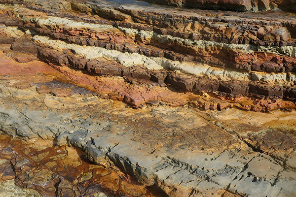
Mineral Discovery & Site Assessment
EARTHEYE’s hyperspectral (HSI) and shortwave infrared (SWIR) satellite data enables geologists to identify mineral-rich zones, map resource boundaries, and assess environmental constraints; all from a single platform. On-demand tasking over remote or inaccessible areas removes the need for costly ground surveys, making early-stage prospecting faster, safer, and more cost-effective.
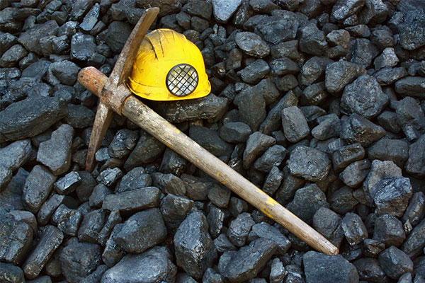
Mine Activity & Asset Monitoring
Track operational progress across dispersed mine sites in near real-time. EARTHEYE's multispectral (MSI) and synthetic aperture radar (SAR) feeds detect changes in site development, monitor stockpile volumes, identify unauthorised encroachments on lease boundaries, and flag terrain shifts; giving operations teams and investors continuous situational awareness without boots on the ground.
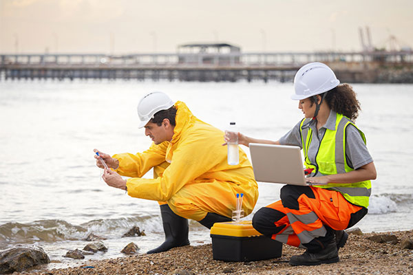
Environmental Risk & Compliance Monitoring
Detect and track environmental risks before they become liabilities. EARTHEYE's platform continuously monitors for methane and greenhouse gas (GHG) emissions, excessive water use, tailings stability, land disturbance, and vegetation loss. Automated feeds alert teams to changes as they occur, supporting proactive regulatory compliance and responsible operations across the mining lifecycle.
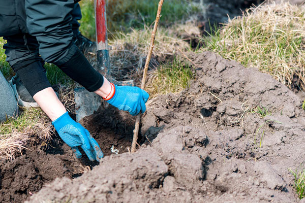
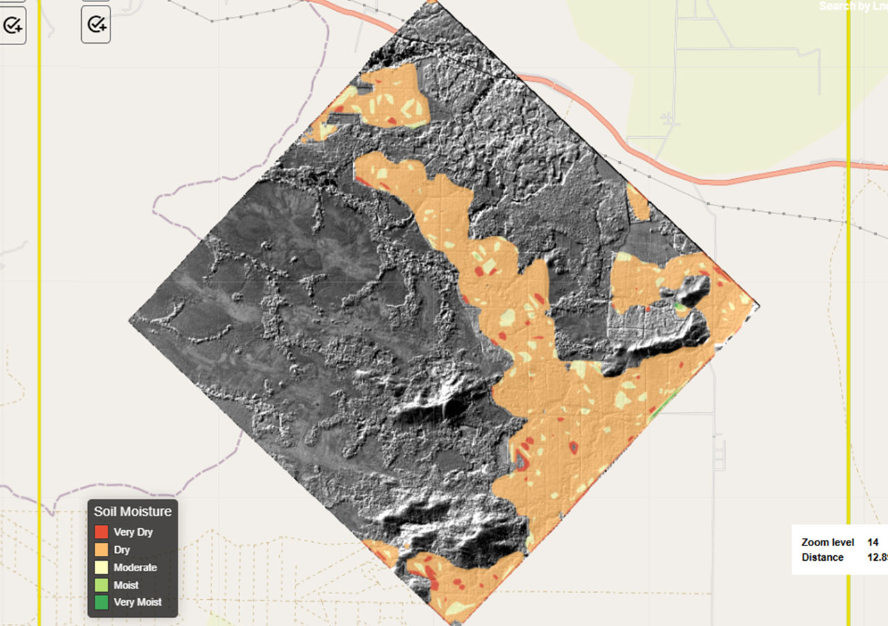
Closure & Land Rehabilitation
Verify post-mining land restoration with objective, satellite-derived evidence. EARTHEYE's MSI and HSI feeds track vegetation recovery, ground stability, and soil health over time; providing regulators and operators with the documentation needed to demonstrate environmental compliance and fulfil long-term rehabilitation obligations.
Smart Tasking, Smarter Information
Near real-time satellite tasking and automated information extraction
Information As A Service – FEEDS
Transform raw satellite data into actionable information instantly with EARTHEYE Feeds. EARTHEYE delivers decision-ready information by extracting essential details from multi-sensor data, supported by automated detection, classification, and reporting across sectors such as defence and intelligence and areas like climate change.
Starting at USD 100 per feed


