Smart Tasking, Smarter Information
Near real-time satellite tasking and automated information extraction
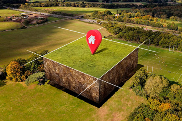
Tasking as a Service – Data
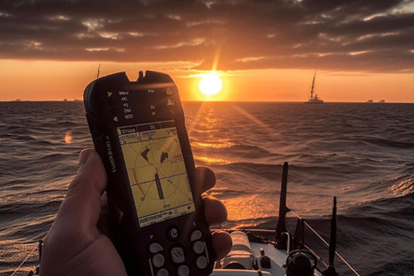
Direct access to satellite tasking, allowing users to schedule any sensor to capture data in near real-time. Whether for defence and intelligence operations, environmental monitoring, or infrastructure assessment, our platform ensures timely data acquisition with precise geospatial accuracy and global coverage through multiple revisit capabilities.
Starting at USD 1.50 per sqkm
Information As A Service – FEEDS
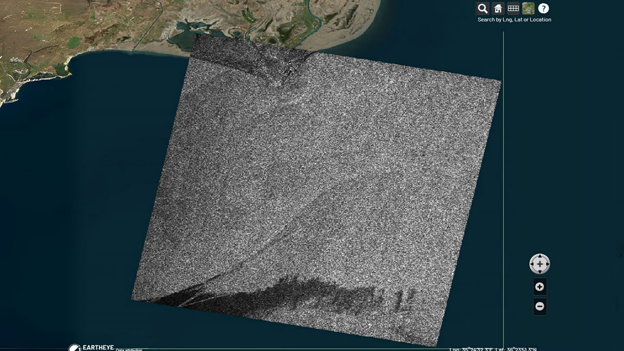
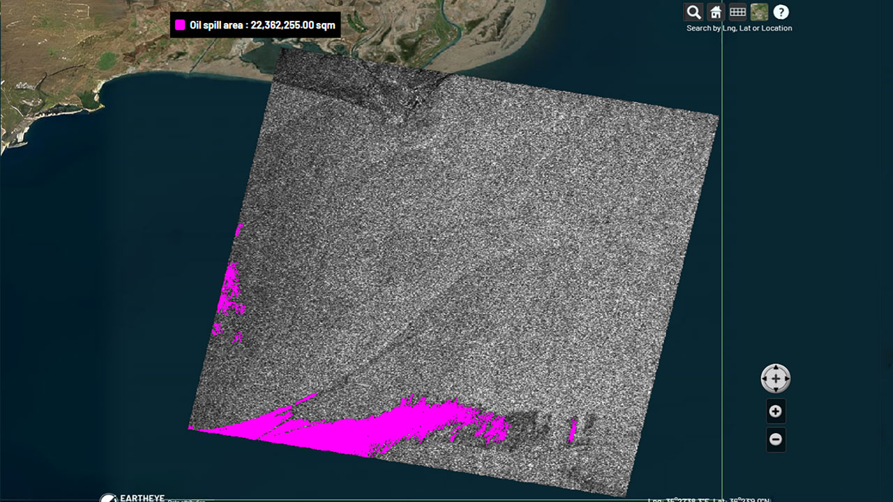
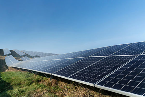
Transform raw satellite data into actionable information instantly with EARTHEYE Feeds. EARTHEYE delivers decision-ready information by extracting essential details from multi-sensor data, supported by automated detection, classification, and reporting across sectors such as defence and intelligence and areas like climate change.
Starting at USD 100 per feed
Others
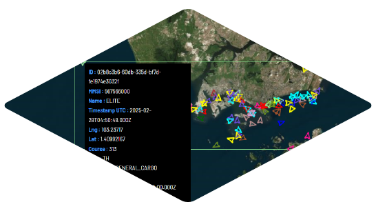
AIS
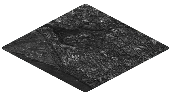
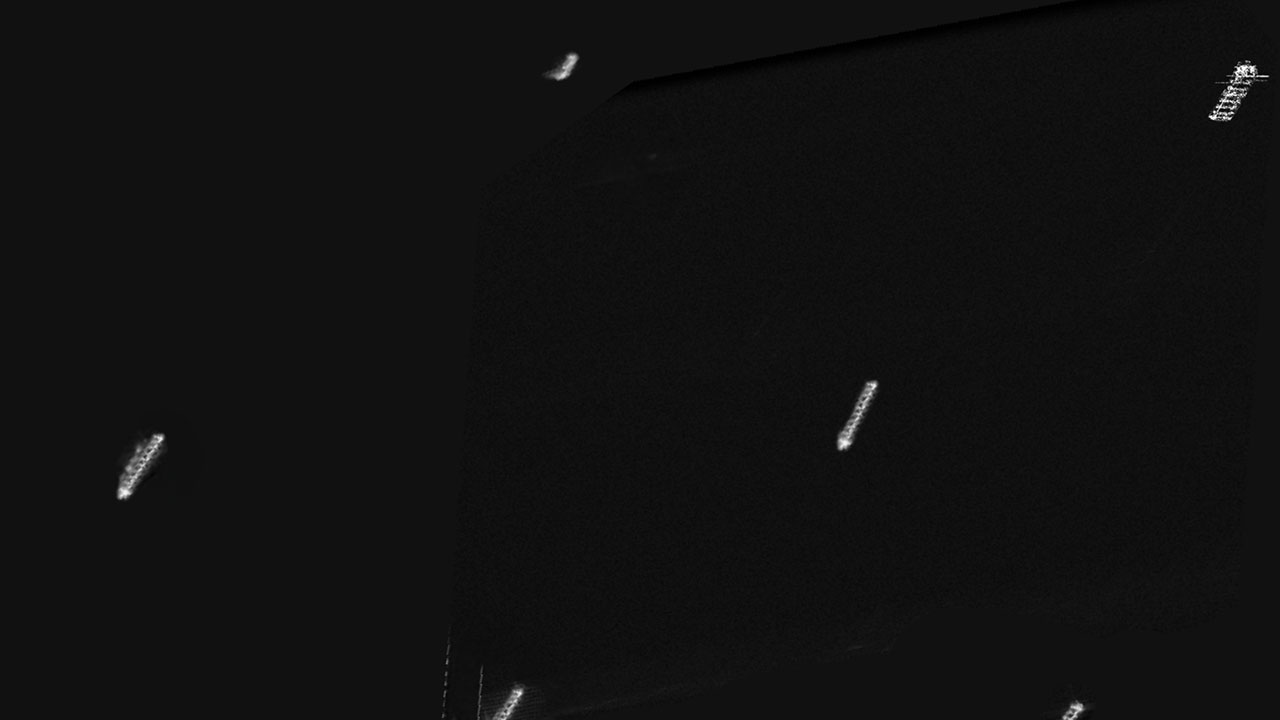
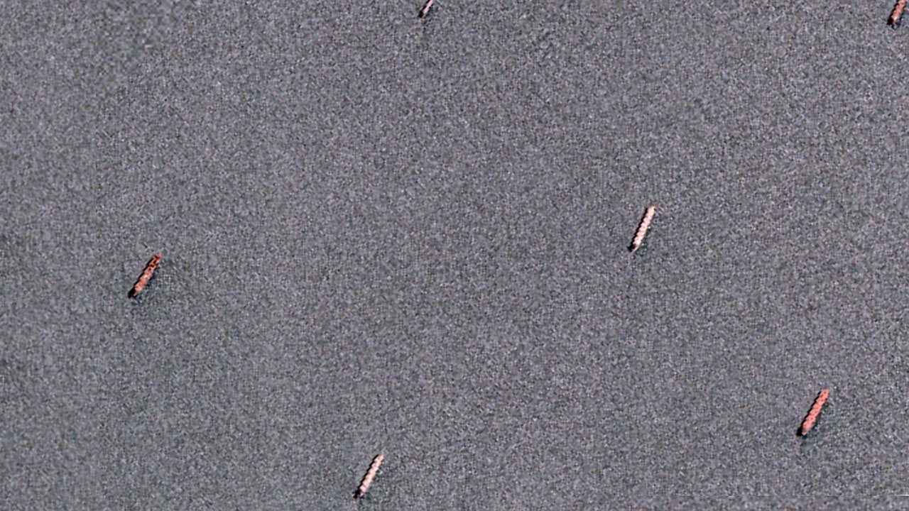
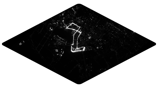
SAR – C-band
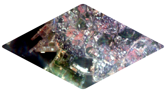
Hyperspectral
Multispectral Night
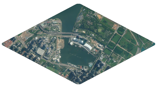
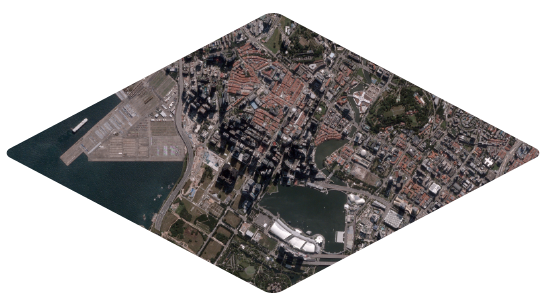
Multispectral Day
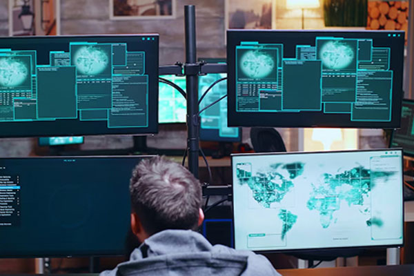
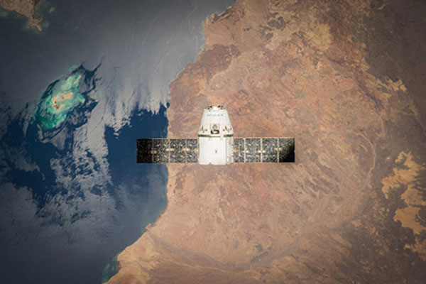
Eartheye: Situational Awareness Platform
Automate satellite tasking of hundreds of satellites and automated information extraction on a single platform
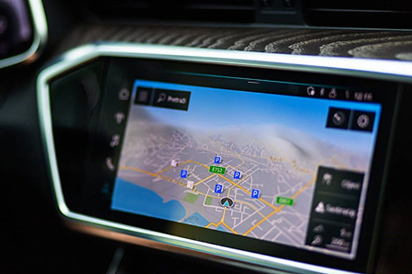
EARTHEYE streamlines and consolidates satellite data acquisition, allowing you to task, process, and analyse data from multiple sensors, all in one place. No more friction and contacting multiple providers or waiting for scheduled collections. EARTHEYE ensures you get the right data and information, when you need it.
 MULTI-SENSOR CAPABILITIES
 DELIVERS TIMELY DATA
 CLOUD-HOSTED
 SECURE AND ENCRYPTED
 MULTI-MODAL INFORMATION
DELIVERS TO TARGET SITES
including GIS TRANSPARENT PRICING
 DATA READY FOR ANALYSIS
Others
AIS
SAR – C-band
Hyperspectral
Multispectral Night
Multispectral Day
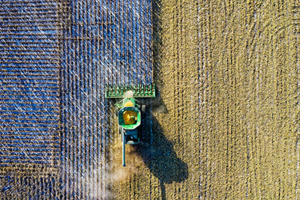
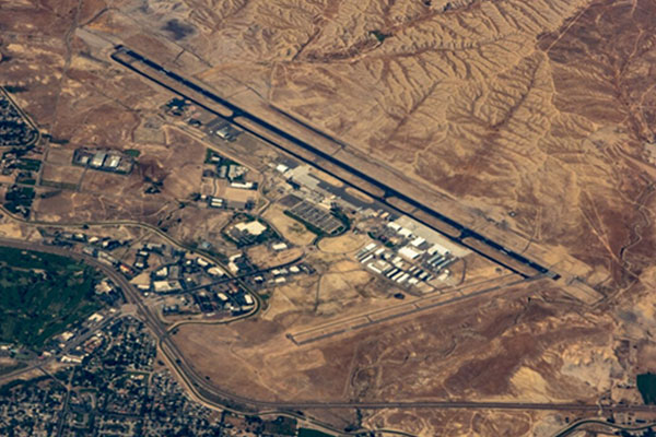
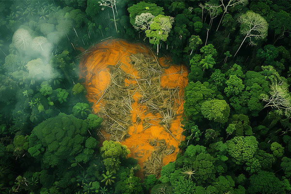
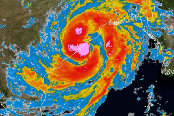
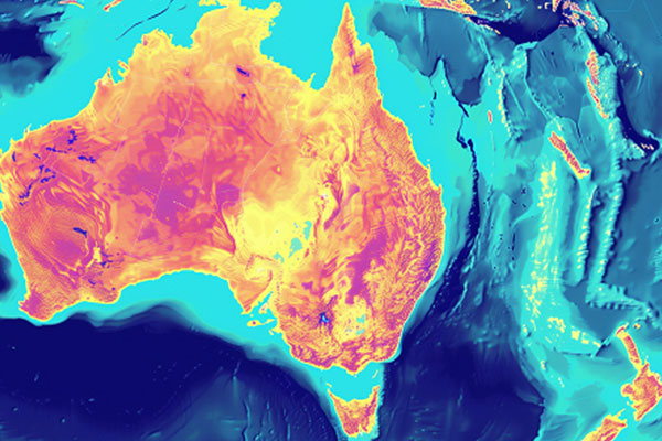
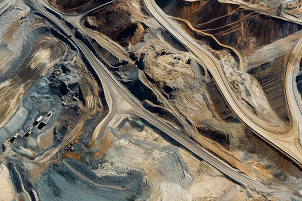
Real World Applications
How can EARTHEYE work for you?
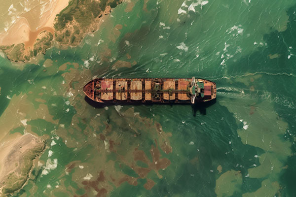
Whether you are assessing flood impact or detecting transhipment, to monitoring environmental changes at mining sites, EARTHEYE automates satellite tasking and delivers real-time information for faster decision making


AFFORDABLE PLANS
Pay Only for What You Use
Starter
For first-time or occasional users
- No annual deposit
- Access up to five Imaging Sensors
- Pay Now via PayPal or Stripe, Debit Account
- Single user, one tasking workflow
- Support via platform ‘contact us’
Premium
For high-volume users
- Minimum USD 50,000 annual deposit
- Full access to all Sensors
- Pay Now, Debit Account, or Pay Later by invoice
- Tip-and-Cue and other advanced tasking, permission-based enterprise workflows, and user-level budgets
- Access to advanced feeds
- Support via onboarding, platform ‘contact us’, email, Slack, and monthly check-in meeting
*Contact sales for automatic discounts on deposits over USD 100,000.


