Industry Application
Agriculture

Application
By leveraging satellite data, gain actionable insights that enhance decision-making, improve resource efficiency, and boost productivity.
- Monitor crop health
- Assess irrigation needs
- Predict yields
- Detect pest risks
EarthEye’s Impact

Driving Efficiency and Sustainability in Agriculture by ensuring that farming practices are more sustainable, efficient, and resilient to future challenges.
- Optimise resource usage
- Boost productivity
- Support food security initiatives
Use Cases
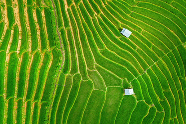
Crop Mapping
Accurate and timely assessment of crop wise sown area at local and regional levels is easy through EARTHEYE platform. Get access to wide ranging multi-spectral and Hyperspectral satellite images and choose the one that meets your requirement. Crop sown area is a critical input to supply chain management, estimating area wise projected arrivals and biomass estimation.

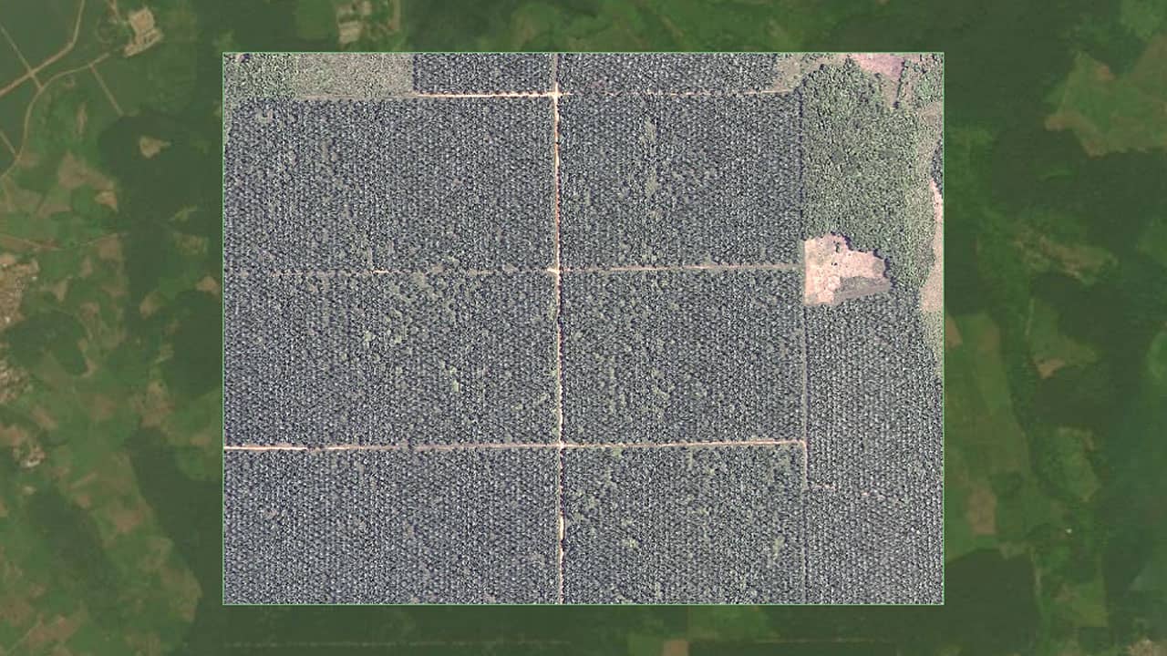
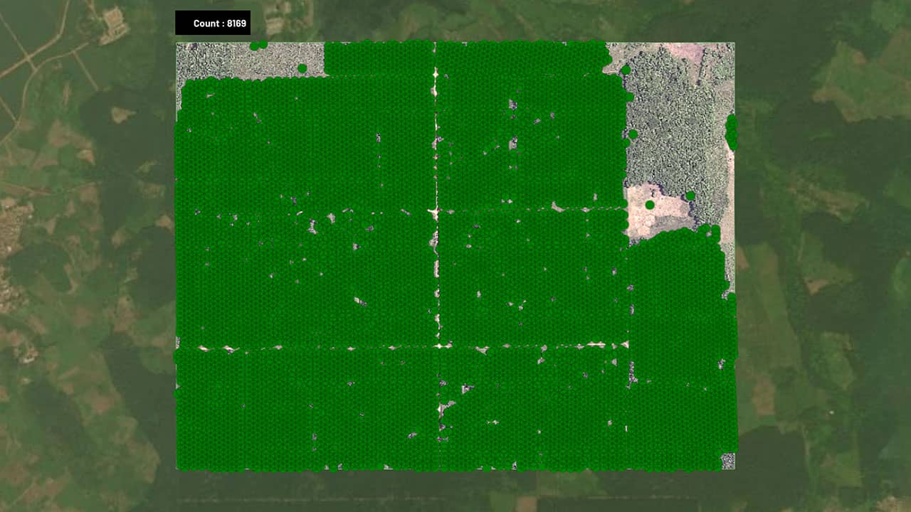
Agroforestry
Tree Counting: Pre-trained machine learning algorithms readily extract tree centroid location and total count of trees within your area of interest from high resolution satellite imagery. Tree location and count is the first step to technology based approach to plantation management viz. Tree level health monitoring, Blank spot detection, Resource planning etc.
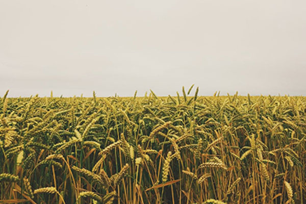
Yield Estimation
Wide ranging satellite images and indices from multiple sensors help improve accuracy of crop yield estimation models. While on one hand, accurate yield estimation facilitates procurement price determination and global trade, on the other hand farmers can get their claims paid on time and transparently.
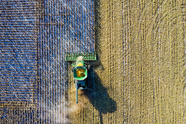
Production Management
EARTHEYE platform helps improve agricultural supply chain management by providing real-time insights on sown area, harvest timelines that in turn lead to improved logistics planning, reduce losses, with accurate and timely satellite-driven insights.
Smart Tasking, Smarter Information
Near real-time satellite tasking and automated information extraction
Information As A Service – FEEDS
Transform raw satellite data into actionable information instantly with EARTHEYE Feeds. EARTHEYE delivers decision-ready information by extracting essential details from multi-sensor data, supported by automated detection, classification, and reporting across sectors such as defence and intelligence and areas like climate change.
Starting at USD 100 per feed


