Industry Application
Environment

Application
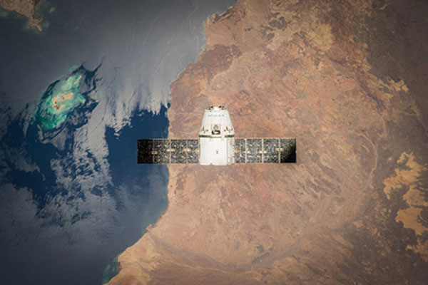
Unlock the power of Earth Observation (EO) data for the resources sector with Eartheye Space. Our cutting-edge satellite solutions provide accurate, timely, and cost-effective insights to support critical operations in mining and resource management.
- Mineral exploration
- Methane emission tracking
- Land subsidence
EarthEye’s Impact

EARTHEYE’s advanced satellite-based solutions empower you with real-time insights, helping you navigate regulatory requirements, mitigate ecological impacts, and enhance workplace safety.
- Ensure compliance
- Reduce environmental risks
- Improve operational safety
Use Cases
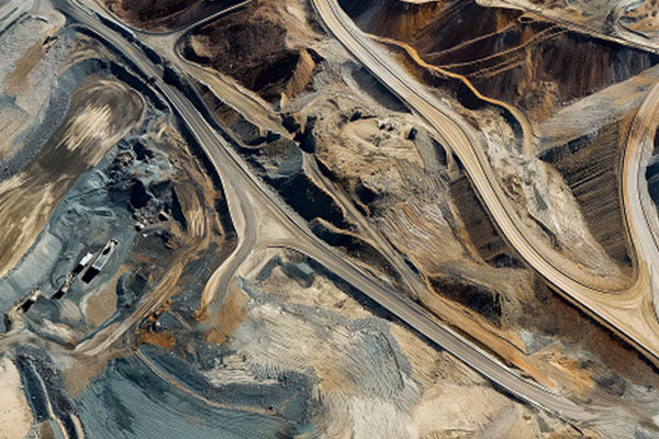
Mining Insights
Very high spatial and spectral resolution together with customised insights in the form of feeds from EARTHEYE self-service tasking platform is going to help the mining industry like never before. On-demand tasking of hyperspectral (and of course many other sensors) in remote, inaccessible areas will make mineral discovery easier. Mine tailings, slope stability of dumps and post mining restoration monitoring can be done efficiently for safe and sustainable mining with appropriate images/insights from our platform.
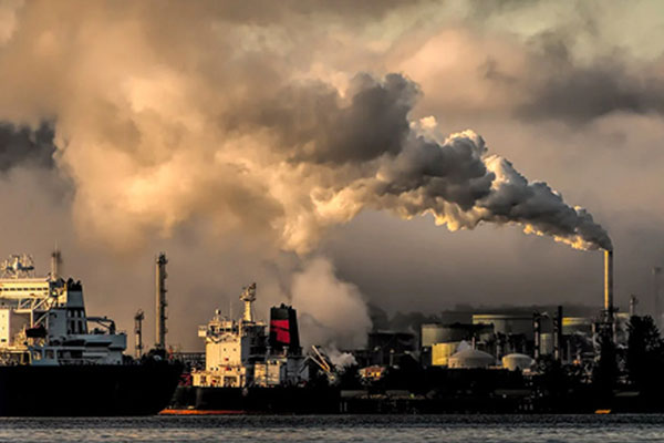
Methane Emission Monitoring
EARTHEYE’s platform enables precise detection and tracking of methane emissions. By leveraging advanced sensors for source identification and plume tracking, it helps industries monitor greenhouse gas leaks, ensure regulatory compliance, and support environmental sustainability efforts.
Environmental Monitoring
EARTHEYE platform allows periodic monitoring of environmental changes for environmentally sensitive project areas. By leveraging high-resolution imagery and multi-sensor data, it helps track land degradation, pollution, and ecological impacts, supporting sustainable resource management and regulatory compliance.
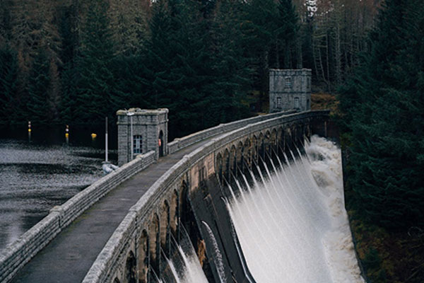
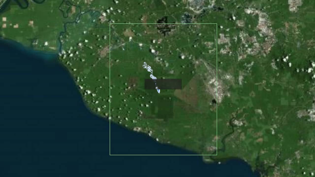
Dam Monitoring
Storage changes in dams and varying contamination levels in water bodies, especially dams, is a serious environmental concern. EARTHEYE’s self tasking platform allows you to receive periodic high resolution, multi/hyper-spectral satellite images over the area to monitor water quality and quantity to detect potential risks.
Smart Tasking, Smarter Information
Near real-time satellite tasking and automated information extraction

Information As A Service – FEEDS
Transform raw satellite data into actionable information instantly with EARTHEYE Feeds. EARTHEYE delivers decision-ready information by extracting essential details from multi-sensor data, supported by automated detection, classification, and reporting across sectors such as defence and intelligence and areas like climate change.
Starting at USD 100 per feed


