Industry Application
Forestry

Application
Harness the power of cutting-edge satellite technology to revolutionise forest management. Empower sustainable forestry practices with actionable insights and comprehensive geospatial solutions.
- Track deforestation
- Assess forest health
- Identify wildfire risks
EarthEye’s Impact

Advance sustainable forestry practices and safeguard ecosystems with our innovative geospatial solutions. By enabling precise monitoring and analysis, our platform helps you make informed decisions.
- Promote sustainable forestry
- Protect ecosystems
Use Cases
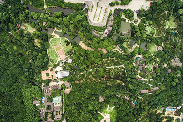
Forest Mapping
Utilise EARTHEYE’s self-service satellite tasking platform for accurate forest mapping, monitor forest cover, assess biodiversity, and track deforestation. With high-resolution imagery and multi-sensor data, our platform enables forestry professionals to make informed decisions and implement effective conservation strategies.
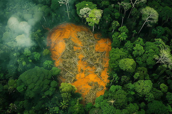
Logging Detection
EARTHEYE’s platform helps detect illegal logging activities in remote forest areas, eliminating the need for ground visits. By analysing high-resolution satellite imagery, multi-spectral data and deforestation feeds, we can provide real-time monitoring to track illegal felling of trees and help take timely interventions to protect the assets.

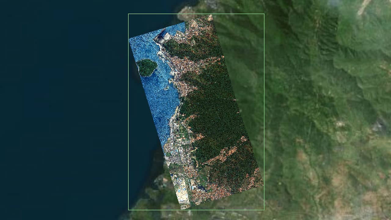
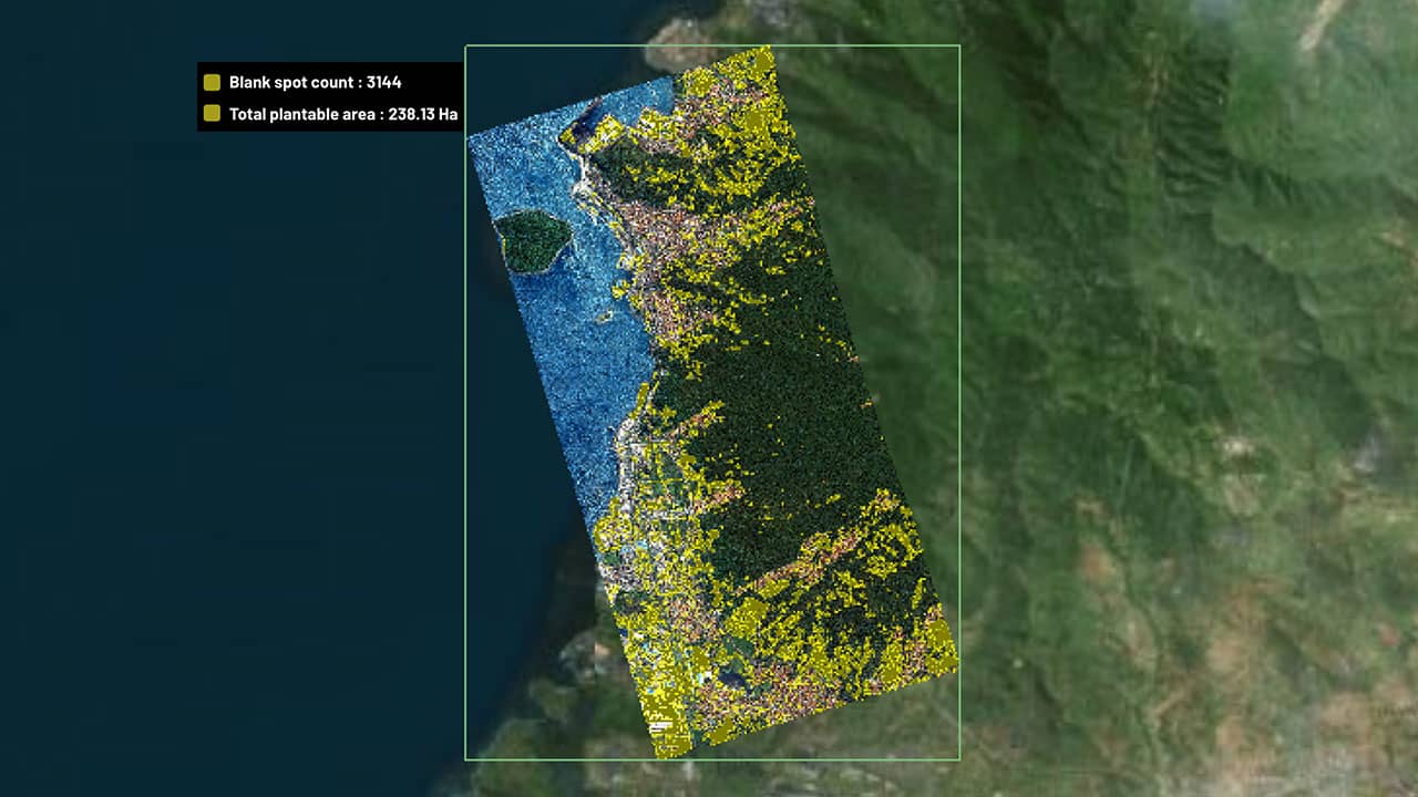
Reforestation Evaluation
Using EARTHEYE’s platform, track and assess the progress of reforestation efforts with high-resolution imagery and advanced analytics. Monitor tree growth, density, and overall forest health to evaluate the success of replanting initiatives and ensure sustainable forest management.

Wildfire detection
EARTHEYE’s self-service satellite tasking platform offers capability to task wide ranging sensors for early wildfire detection. One can task thermal, optical and SAR imagery over sensitive areas through the platform and receive near real-time images, enabling rapid response to mitigate damage, protect ecosystems, and protect valuable forest and biodiversity.
Smart Tasking, Smarter Information
Near real-time satellite tasking and automated information extraction
Information As A Service – FEEDS
Transform raw satellite data into actionable information instantly with EARTHEYE Feeds. EARTHEYE delivers decision-ready information by extracting essential details from multi-sensor data, supported by automated detection, classification, and reporting across sectors such as defence and intelligence and areas like climate change.
Starting at USD 100 per feed


