Industry Application
Insurance

Application
In the insurance industry, accurate data is critical for assessing risks, analysing disaster impacts, and validating claims efficiently. Our advanced Earth Observation (EO) technology provides precise, real-time geospatial insights that empower insurers to make informed decisions with confidence.
- Risk assessment
- Disaster impact analysis
- Claim validation
EarthEye’s Impact

Harness the power of EARTHEYE technology to drive efficiency, accuracy, and profitability in your insurance operations. Make data-driven decisions with comprehensive environmental and property insights.
- Reduce fraud
- Optimise premiums
- Support informed policy underwriting
Use Cases

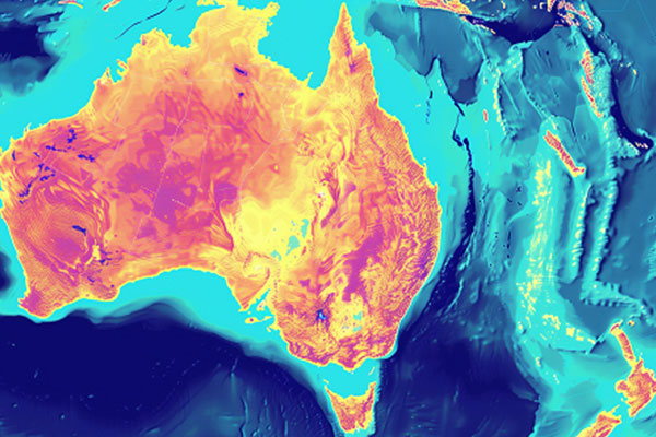
Risk Analysis
EARTHEYE’s self-service satellite tasking platform allows precise local and regional peril-wise risk assessment. By analysing satellite imagery and environmental data, insurers can evaluate exposure to natural disasters, improve risk modeling, and enhance underwriting accuracy for better decision-making.
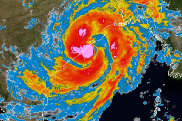
Disaster Analysis
The insurance industry always needed near real time information/data on losses caused by natural disasters viz. floods, storms and earthquakes. EARTHEYE platform delivers all weather satellite images and also impacted area maps through ‘feeds’ along with acquired satellite images. This helps risk managers in assessing losses and manage claim settlements accurately and transparently.
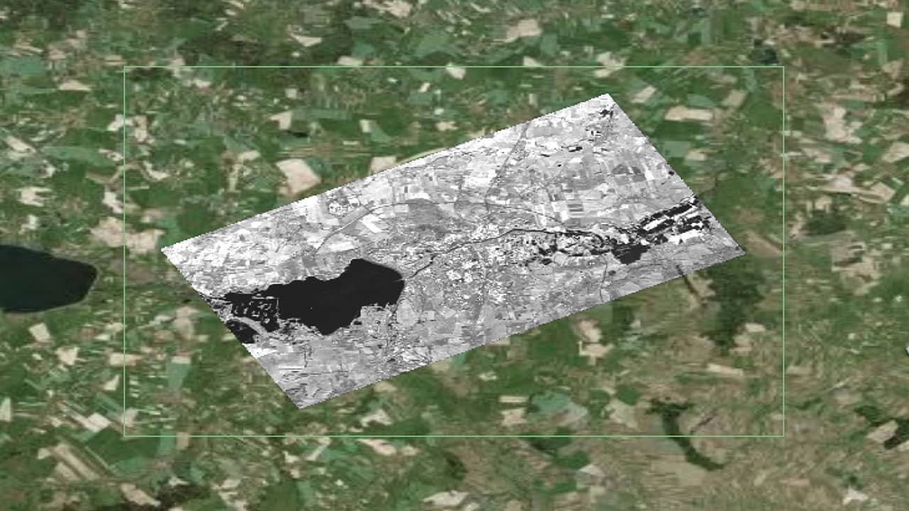
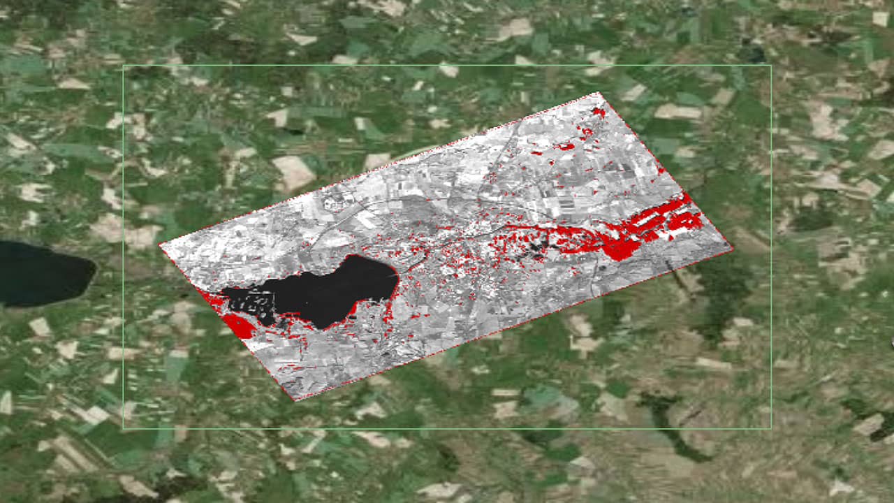
Flood Monitoring
EARTHEYE’s self-service satellite tasking platform enables real-time flood monitoring by providing timely and accurate delineation of extent of inundation. This can be overlaid with any secondary information or maps that help Insurers in risk evaluation, faster claims processing, and improved disaster response planning.
Smart Tasking, Smarter Information
Near real-time satellite tasking and automated information extraction
Information As A Service – FEEDS
Transform raw satellite data into actionable information instantly with EARTHEYE Feeds. EARTHEYE delivers decision-ready information by extracting essential details from multi-sensor data, supported by automated detection, classification, and reporting across sectors such as defence and intelligence and areas like climate change.
Starting at USD 100 per feed


